Geospatial Data Analysis for Economists
I developed and continue to teach this course with Giorgio Chiovelli and Tanner Regan.
The course aims to train students with modern research methods used for analyzing spatial data. It focuses on applications to the study of development in Africa, but the tools covered will be applicable in many contexts. The course gives an overview of geospatial data and work through case studies that demonstrate the use of python for spatial data analysis and QGIS for spatial data visualization.
Participants gain familiarity with various open-source software used in spatial data analysis:
- Anaconda (Python and Jupyter)
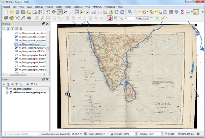
- QGIS
- Google Earth Engine
See my GitHub for earlier versions of the course including slides and code.
